
Lowcountry · Commercial land
Buying commercial land in the Lowcountry: questions to resolve early
A practical commercial-land checklist for Bluffton, Beaufort and Jasper County: jurisdiction, access, utilities, flood information and usable area.
Realty ONE Group Lowcountry
September 10, 2026
The short answer
Before buying Lowcountry commercial land, investigate the proposed use, legal access, utilities, flood information and the area your project can actually use. Gross acreage is a starting measure, not a confirmed development footprint.
In this guide
Begin with the intended project
Confirm jurisdiction and investigate the proposed use
Ask about access and services as separate workstreams
Use official flood information at the start
Begin with the intended project
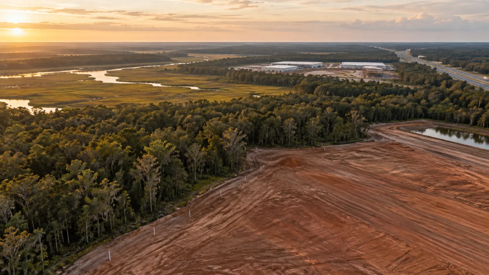
Describe what you want to place on the land, how customers or trucks will enter, and how much room the operation requires outside the building. A project brief gives the people reviewing the site a common question to answer. Without it, a parcel can seem suitable simply because it is large enough on paper.
Separate the size of the parcel from the space required for the whole operation. Ask your project professionals to identify which site conditions, design requirements or constraints need to be evaluated before a usable layout can be established.
Confirm jurisdiction and investigate the proposed use
Identify the parcel and governing jurisdiction before gathering zoning information. In the Bluffton area, the Town’s zoning lookup can help distinguish municipal property from unincorporated Beaufort County. Jasper County also offers public mapping resources for local research.
Discuss the intended project with the appropriate planning office. Record what is known, what requires an application and what remains uncertain. An attractive neighboring development should not be treated as proof that the same use or design will be appropriate for the parcel you are evaluating.
Ask about access and services as separate workstreams
A road next to a parcel does not answer every question about access. Request the available survey, title and access documents for professional review. Have the project team identify the vehicle movements the site must accommodate and what needs to be confirmed about entrances.
Similarly, proximity to utilities is different from confirmation of service for a specific project. Ask the relevant providers what information they need to assess the proposal. Keep capacity, connection work, timing and cost questions visible in the decision file.
Use official flood information at the start
The USGS directs users to FEMA’s official flood-map resources. Search the site location and retain the information used in your review. Ask the relevant professionals to interpret what it means for the proposed project; a regional map is not a site-specific design or insurance determination.
Put the findings into a dated checklist before advancing the decision. A useful land conversation should identify the next verification steps, the responsible people and the assumptions that could change whether the project fits the site.
Frequently asked questions
Is gross acreage the same as developable acreage?
No. The usable project area requires site-specific evaluation. Access, site conditions, design requirements and other constraints can affect the layout.
Where can I begin checking flood information?
Use FEMA’s official flood mapping resources, as linked by the USGS, then ask the relevant professionals to interpret the information for the particular site.
Official resources
Sources checked September 10, 2026. Confirm the current requirements for your parcel and proposed use with the responsible authority.
General property-planning information. Site-specific approvals, lease documents and technical conditions require review by the relevant authorities and qualified advisors.
More perspectives.

Bluffton · Office leasing
Leasing office space in Bluffton, SC: a practical search guide
Compare Bluffton office space by permitted use, customer access, parking, buildout needs and total occupancy cost before choosing a location.
READ ARTICLE →
Hilton Head Island · Retail
Hilton Head Island retail space: choosing a location that works
A site-selection guide for Hilton Head Island retail businesses covering use approval, customer journeys, deliveries and seasonal operating assumptions.
READ ARTICLE →
Beaufort · Site selection
Beaufort, SC commercial property: verify the site before the tour
How to organize a Beaufort commercial-property search around parcel jurisdiction, use confirmation, site access and a documented shortlist.
READ ARTICLE →